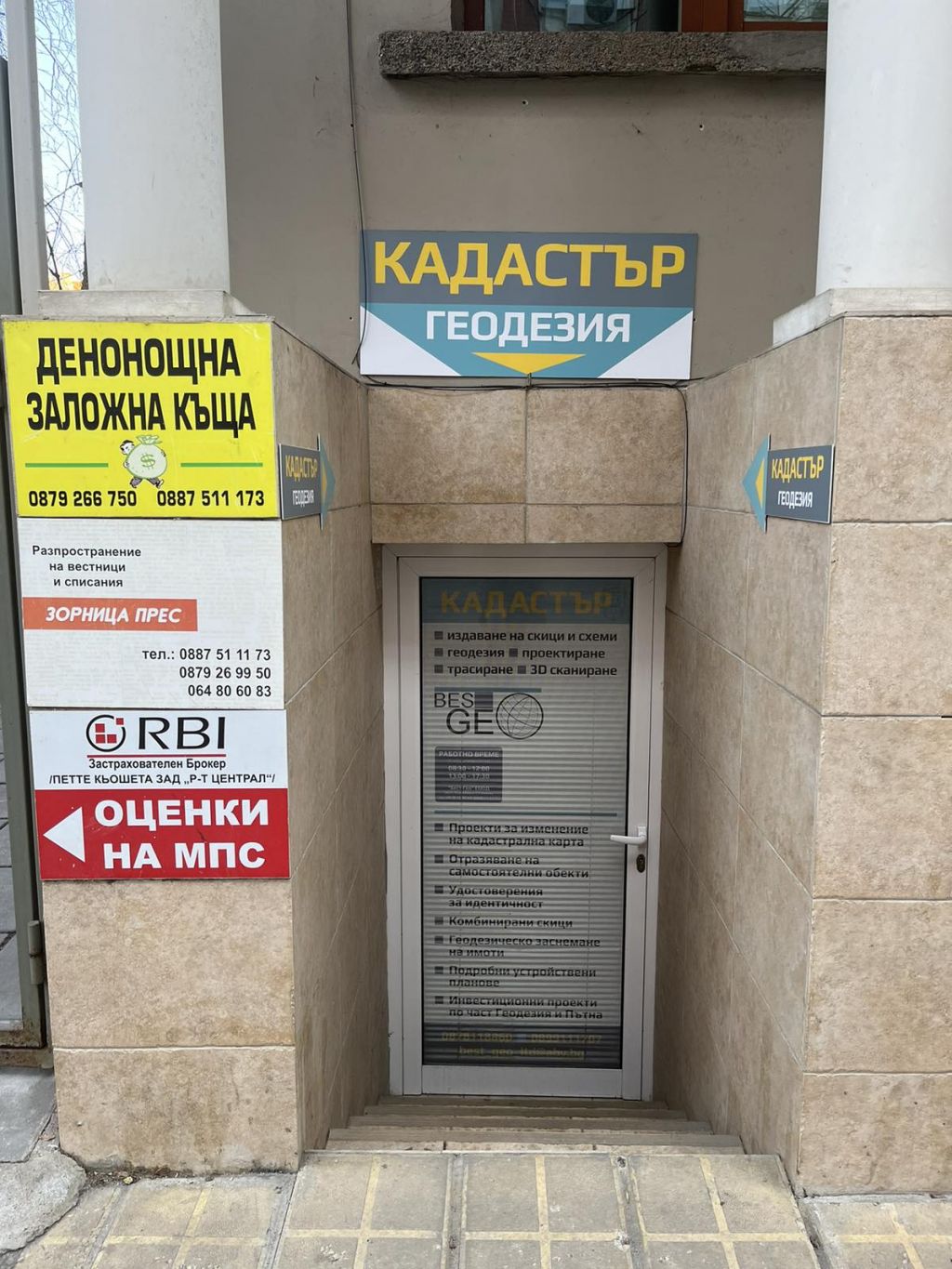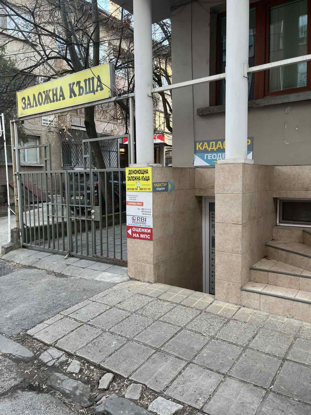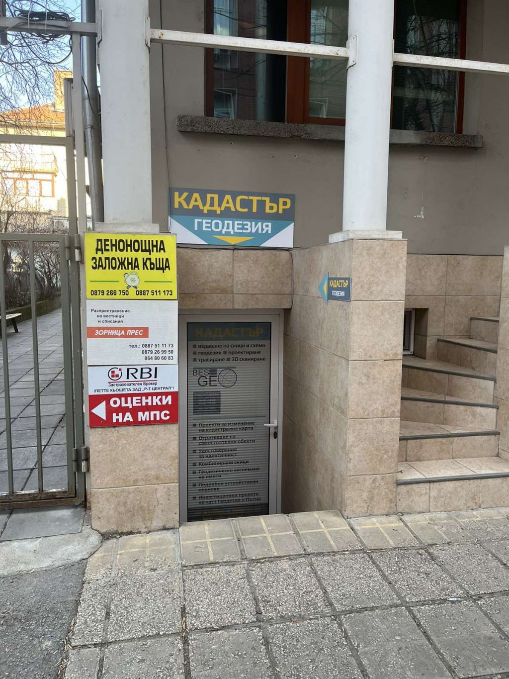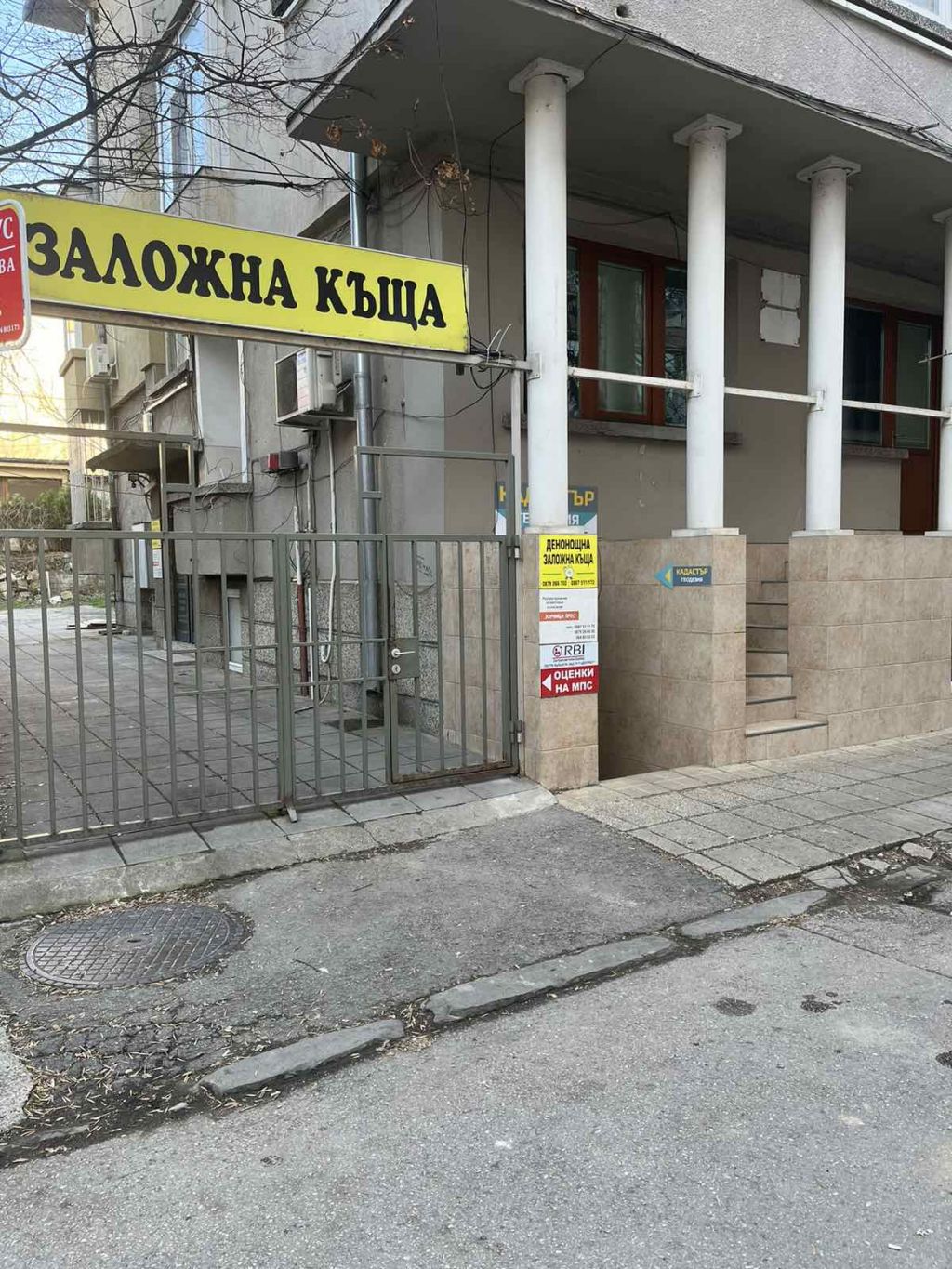




About us
Best Geo Ltd. was founded in 2018 in Pleven. The main activities of the company are based on the methods of the correct determination of the land surface, the relief features and characteristic forms of the terrain, the collection of information and data on the exact location, shape and size of various objects, detailing the situation, for which need to draw up topographic plans and specialized maps.
The main goal and aspiration of our team of specialists is to produce the final product in the shortest possible time, so that it does not affect its quality and completeness. As a team with solid experience in geodetic practice, we apply a rational and adequate solution to any task assigned to us by the client, and at the same time we manage to introduce innovation through the technologies and equipment we use. We work with a high rate of penetration of 3D scanning and scanning systems, in the field of geodetic measurements and activities, to achieve different goals.