



3D scanning
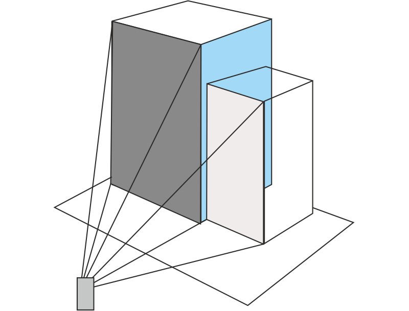
3D Laser Scanning is an increasingly popular tool for collecting vast amounts of accurate spatial data within a short amount of time In essence these scanners collect millions of individual point measurements within minutes. The measurements are then plotted within a single XYZ coordinate system to form a point cloud of the object’s external surface. With the addition of GPS data these points can be geo-referenced and transformed into a global reference system. Multiple data clouds collected from different viewpoints can also be combined (“registered”) using common features in order to create one 3D dataset
The resulting 3D data can be used for visualisation, modelling and planning. Additionally the point cloud data can be exploited in order to take any number of measurements without having to physically take each measurement on site. Furthermore, point cloud data can form the basis of a rich dataset containing more than purely spatial information (XYZ).
3D scanning opens up a world of new and exciting opportunities for professionals in multiple industries. Compared to many other methods of data capture, it is one of the fastest, safest, and most cost-effective ways of achieving high-quality 3D models of all kinds of objects.